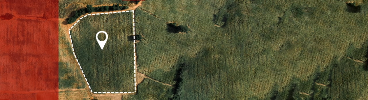
The lack of reliable plot size and location data constraints Sameerwadi farmers' ability to optimize resource allocation and implement regenerative practices. Geofencing provides a way to obtain this data that can be used to meet specific needs such as fertilization requirements
While the overall average sugarcane yields are ~85 t/ha over the last decade in Karnataka, there is a general, anecdotally reported, trend of declining yields through time, especially over the past decade.
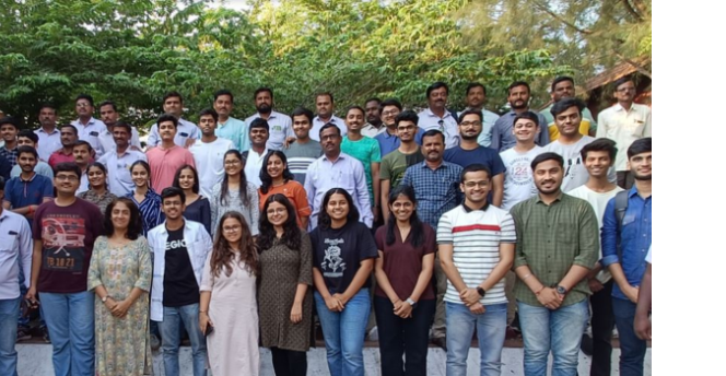
Godavari Biorefineries Ltd. (GBL), a pioneer and leader in manufacturing bio-based chemicals in India uses sugarcane as its primary feedstock. They processes cane from nominally from 18,000-25,000 farmers (depending on seasons and availability), Sameerwadi village of Mudhol Taluk within the Bagalkot District, Karnataka State, India thus forming an extensive industrial-agricultural (IA) ecosystem. Currently, the farms give 62-75 Metric Tons (MT) per hectare, whereas GBL is expecting a minimum of 87-100 MT/hectare to extract more sugar, biofuel, energy, and another green chemicals. In return, farmers receives a reliable source of income, farm management subsidies and outreach support such as providing quality samplings, customised cropping advice for their farms.
Mapping the virtual boundaries of 20,000 small to medium sugarcane farms with geospatial technologies is the first step in providing customized recommendations to improve crop yield and promote sustainable practices.
The geoplotting of farm boundaries, typically termed "field mapping" or "farm boundary mapping," involves using geospatial technologies such as GPS and GIS (Geographic Information Systems) to accurately delineate and visualize the boundaries of agricultural fields. This mapping is essential for efficient farm management, planning, and decision-making. The objective is to leverage geofencing to improve various aspects of agriculture management, including crop management, resource allocation, and operational efficiency. Geofencing captures the physical location (longitude and latitude) of farms, which becomes the foundational data to integrate farm, farmer, and crop information for analysis and recommendations through digital platforms, providing a real-time view of farmers' plots on digital applications.
Farm Boundary Mapping forms the foundation project of Regenerative Agriculture systems and Big Data & AI in Sustainability programs.
This project has three key objectives:
.png)
Somaiya Vidyavihar University
 Godavari Biorefineries Ltd
 shyamal@somaiya.edu
 https://cascade.somaiya.edu/en